|
[Home]
|
[Grades]
|
[Handouts]
|
Streamflow and Streamgaging
Streamgaging and the USGS
Streamgages are established at sites to monitor river water levels. This information is then used to make discharge estimates using a rating curve. The rating curve relates discharge to measured water levels, and is obtained from periodic measurements (i.e., several times per year) of water levels, discharge, and channel characteristics at the streamgage site. Most streamgages are maintained by the U. S. Geological Survey (Water Resources Division), often in cooperation with other federal, state, or local government agencies.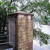
The following are links to the USGS (WRD) and information on their streamgaging program:
- USGS (Water Resources Division)
- Stream Gaging and Flood Forecasting (a primer on streamgaging and streamflow forecasting)
- Stream-Gaging Program of the U.S. Geological Survey (a complete reference on streamgaging)
- A New Evaluation of the USGS Streamgaging Network (update on the state of the USGS streamgage network)
Streamgaging and Discharge Measurement Images
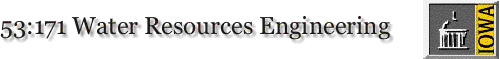
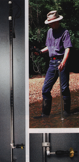
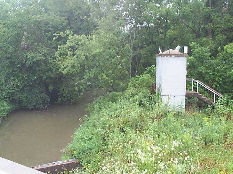
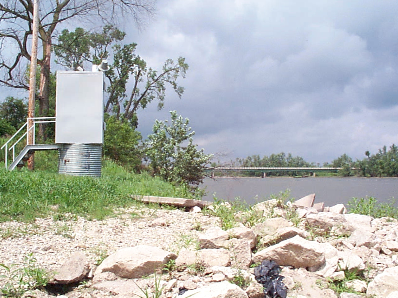
Streamgages in Iowa- Iowa River at Iowa City (USGS 05454500)
- Rapid Creek near Iowa City (USGS 05454000)
- Iowa River below Coralville Dam nr Coralville (USGS 05453520)
- Iowa River at Wapello (USGS 05465500)
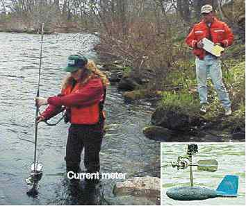
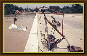
Discharge Measurement Techniques
- Current meter (wading)
- Current meter (bridge)
- Acoustic Doppler current profiler (ADCP)
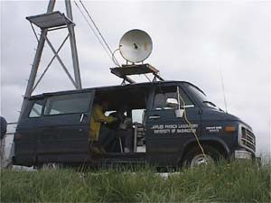
- Radar
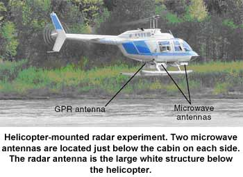
- Radar and ground penetrating radar (helicopter mounted)
- Particle image velocimetry
Last changed on 01/07/14 by Gabriele Villarini.